
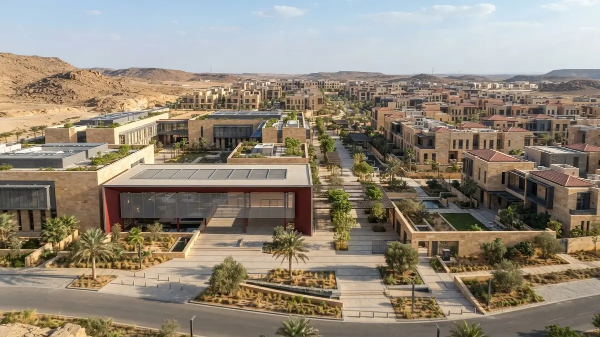
The Strategic Value of Educational Anchors in Masterplans
Educational plots in Saudi residential masterplans are primary drivers of long-term project desirability and market value. However, they are often treated as mere regulatory checkboxes required to secure planning approvals, without considering their structural impact on the surrounding urban fabric. Integrating a school intelligently within a masterplan is not just about providing classrooms; it is about creating a community anchor that elevates the capital value of adjacent residential plots and supports the daily quality of life for residents.
In today's Saudi real estate market, sophisticated buyers seek integrated residential environments that guarantee their children's safety and ease of mobility without the daily burden of traffic congestion. When schools are planned as isolated islands, these vital facilities transform from competitive assets into sources of nuisance, visual clutter, and noise. This directly reduces buyers' willingness to purchase adjacent or nearby plots, ultimately eroding the developer's overall yield.
The Cost of Poor Integration: Congestion and Value Depreciation
Planning failures manifest clearly during morning and afternoon peak hours. Allocating school plots on narrow streets or near major intersections without studying traffic capacity leads to severe congestion that paralyzes the inner residential network. This bottleneck does not only waste time; it actively depreciates the value of adjacent residential plots due to poor accessibility, driving investors and homebuyers away from these affected zones.
Furthermore, the absence of spatial buffer zones between the school and the residential neighborhood creates a hostile environment for pedestrians and increases traffic safety risks for children. This decline in safety and comfort translates directly into lower rental yields and reduced sales prices for surrounding residential units, sometimes reaching levels that compromise the overall economic feasibility of the masterplan. This compels developers to rethink how they allocate and design these plots.
The Spatial Friction: Analyzing Drop-off and Pick-up Dynamics
The core challenge lies in designing dedicated Drop-off and Pick-up (DOPU) zones within the school's property boundary rather than relying on public right-of-ways. Conventional planning relies on chaotic curbside parking, which narrows the effective street width and halts free-flowing traffic. An engineered solution requires calculating the expected queue length based on the school's capacity and designing internal circulation lanes to absorb these vehicles away from the masterplan's primary road network.
On the other hand, pedestrian mobility must be carefully analyzed for students living nearby. The lack of safe, dedicated pedestrian pathways forces parents to drive even for short distances, doubling unnecessary vehicular trips. By implementing human-centric design principles and creating a continuous, shaded pedestrian network, developers can significantly reduce car dependency and transform the school's perimeter into a safe, vibrant community space.
Decision Criteria for Developers: Designing for Buffer and Flow
To avoid these bottlenecks, developers must adopt clear decision criteria when distributing educational lands. First, schools should be positioned on the periphery of the masterplan or along collector roads with a minimum width of 30 to 36 meters, avoiding direct access points on high-speed arterials or narrow residential streets. This distribution balances traffic loads efficiently without disrupting the tranquility of the inner residential pockets.
Second, architects must be required to provide generous setbacks and shared, multi-use parking zones that can serve other community facilities, such as parks or sports centers, outside school hours. This integrated approach to land use maximizes spatial efficiency and creates added value for the entire masterplan, rather than leaving parking lots vacant during evenings and weekends.
The Solution: Integrated Placemaking and Spatial Modeling
An effective solution requires shifting from 2D masterplanning to 3D spatial and traffic micro-simulation. These advanced technologies allow developers to test design efficiency before breaking ground, accurately predicting bottlenecks and adjusting street widths and gate locations based on real flow data aligned with the target population density.
Additionally, school facades should be designed as attractive visual elements that integrate with the masterplan's architectural identity, rather than blank concrete walls that project isolation and defensive security. Integrating dense landscaping, public seating, and thoughtful lighting transforms the school boundary into a green corridor connecting the neighborhood, enhancing the value of adjacent plots and making them highly desirable for families.
Next Steps: Aligning Yield with Livability
Continuing to replicate conventional planning models for educational plots is a real investment risk that threatens the sales velocity of residential masterplans and erodes developer margins. If you are developing a model residential masterplan in the Kingdom and aim to secure maximum returns while adhering to quality-of-life and humanization standards, the first step begins with an early, precise spatial assessment of utility plots before final municipal submission.
At Asred, we provide real estate developers and investors with specialized strategic urban planning and spatial flow modeling services to ensure educational facilities are integrated seamlessly, preventing traffic bottlenecks and protecting your asset value. We invite you to book a technical working session with our experts to review your current masterplan, identify mobility optimization opportunities, and secure the highest investment yield and residential experience.